


Summary
| Continent | North America |
| Lat/long | 56.1304° N, 106.3468° W |
| Area | 9,984,670Km² / 3,855,101mi² |
| Neighbors | United States of America |
| alpha-2 | CA |
| alpha-3 | CAN |
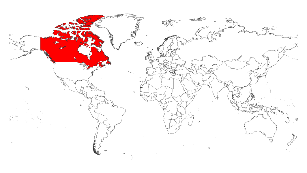
Location of Canada on the world map
Canada is located on the world map between the Atlantic and Pacific oceans in the continent of North America. In terms of coordinates, It is located at a latitude of 56°N and a longitude of 106°W.
Canada neighboring countries
Canada is bordered by the United States to the south and northwest, with a land border extending 8,891 kilometers. Canada also shares a maritime border with Denmark (Greenland) in the northeast and a maritime border with France’s St. Pierre and Miquelon islands in the south.
In addition, Canada has coastlines on three oceans: the Atlantic Ocean to the east; the Pacific Ocean to the west; and the Arctic Ocean to the north.
Size of the map of Canada
Canada is the second largest country in the world, after Russia. The size of the map of Canada is immense. It spans over 9 million square kilometers and stretches from the Atlantic to the Pacific Ocean, as well as north into the Arctic Ocean.
Population of Canada
Despite its large size, Canada’s population is only around 37.59 million people (as of 2020). It is one of the countries with the lowest population density.
The majority of the population is of European descent, with some natives also living in the country. Canada is also a bilingual country, with many citizens speaking both French and English.
Immigration has been an important part of the population growth in Canada over the years, making up about 20%.
Geography
Climate and vegetation
Canada is a vast country with an incredibly diverse climate and vegetation. From the rugged coastlines of British Columbia to the flat prairie lands of Saskatchewan, Canada’s climate and vegetation vary widely.
In the north, you can find tundra and boreal forests, while in the south there are temperate rainforests, grasslands, and mixed forests. The Great Lakes region has a wide range of climates ranging from cold arctic temperatures to moist sub-tropical areas.
Depending on your location in Canada, you may find any number of plants from deciduous trees and shrubs to evergreen conifers
Rivers
Canada has many impressive rivers that span the country from coast to coast. The longest river in Canada is the Mackenzie River, which stretches over 1,700 km from Great Slave Lake in the Northwest Territories to the Arctic Ocean.
Other major Canadian rivers include the St. Lawrence River, running through Quebec and into the Atlantic Ocean; the Fraser River, originating in British Columbia and flowing into Georgia Strait; the Yuk
Lakes
Canada is home to a number of major lakes, the largest of which is Lake Superior. The lake is regarded as the largest freshwater lake in the world.
Other major Canadian lakes include Lake Huron, Lake Ontario, Lake Erie, and Lake Winnipeg. The Canadian Shield also contains numerous large and small lakes, providing outdoor enthusiasts with plenty of opportunities for fishing and boating.
Mountains
Canada is home to some of the world’s most impressive mountains, ranging from the iconic peaks of the Rocky Mountains to the jagged mountain ranges of the Canadian Shield.
The Rockies are located in western Canada and stretch from the Yukon Territory through British Columbia and Alberta, with notable peaks such as Mount Robson and Mount Assiniboine. The Canadian Shield lies in eastern Canada with mountains reaching over 2,000 meters above sea level.