


Home » SVG
SVG maps are maps made with Scalable Vector Graphics (SVG) technology. SVG is a type of XML-based vector graphics format that enables scaling up and down pictures without sacrificing quality, making it perfect for making maps that can be displayed across various screen sizes and on various devices.
SVG maps are created using vector graphics tools such as Adobe Illustrator or Inkscape. They are created with layers, allowing for different features to be separated and edited individually, and can include interactive elements such as clickable regions or markers.
SVG maps can be utilized in a range of applications, including online interactive maps, academic resources, and in printing.
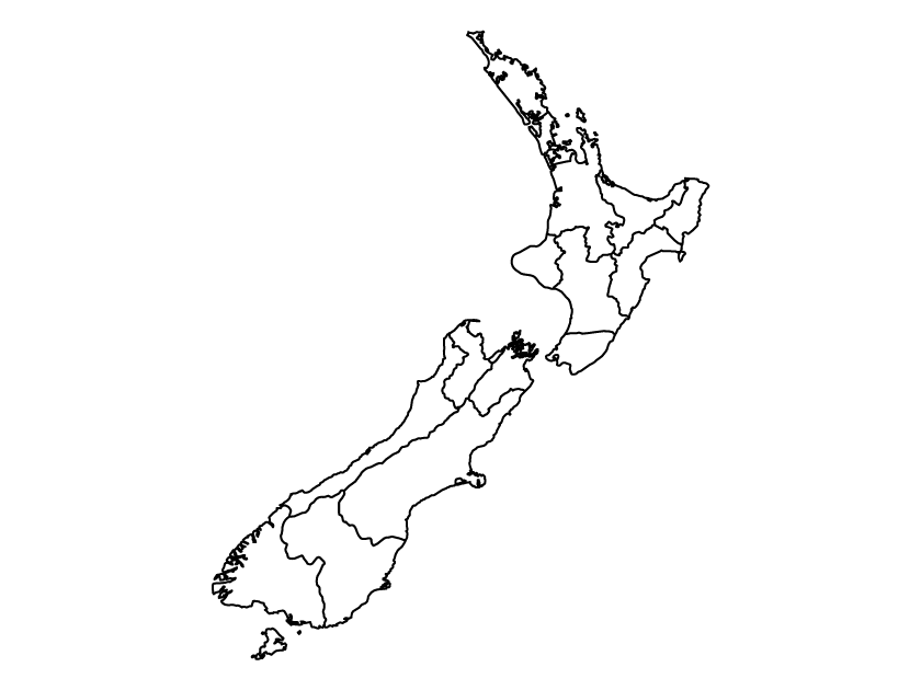
New Zealand political map
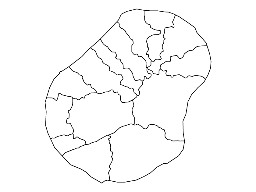
Nauru political map
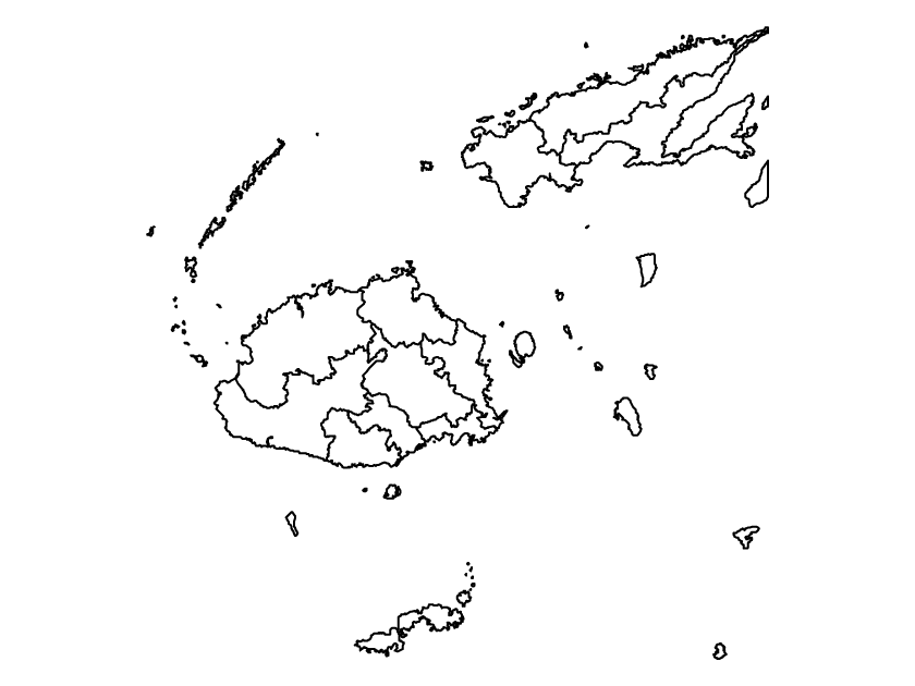
Fiji political map

Australia political map

New Zealand outline map

Nauru outline map

Micronesia outline map

Kiribati outline map

Fiji outline map

Australia outline map
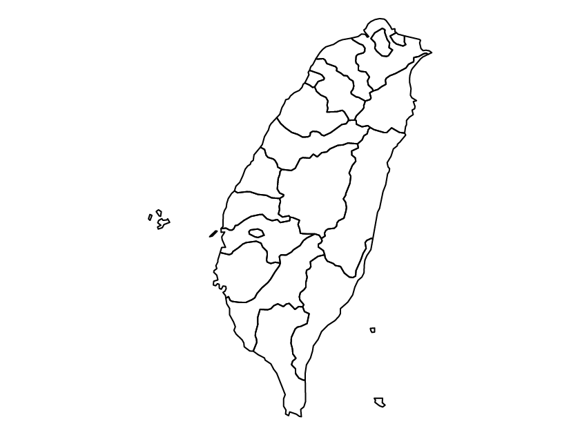
Taiwan political map

Tajikistan political map

Thailand political map

Timor Leste political map

Turkey political map

Taiwan on the world map

Tajikistan on the world map

Timor Leste on the world map

Thailand on the world map

Turkey on the world map

Taiwan outline map

Tajikistan outline map

Thailand outline map

Turkey outline map

Timor Leste outline map
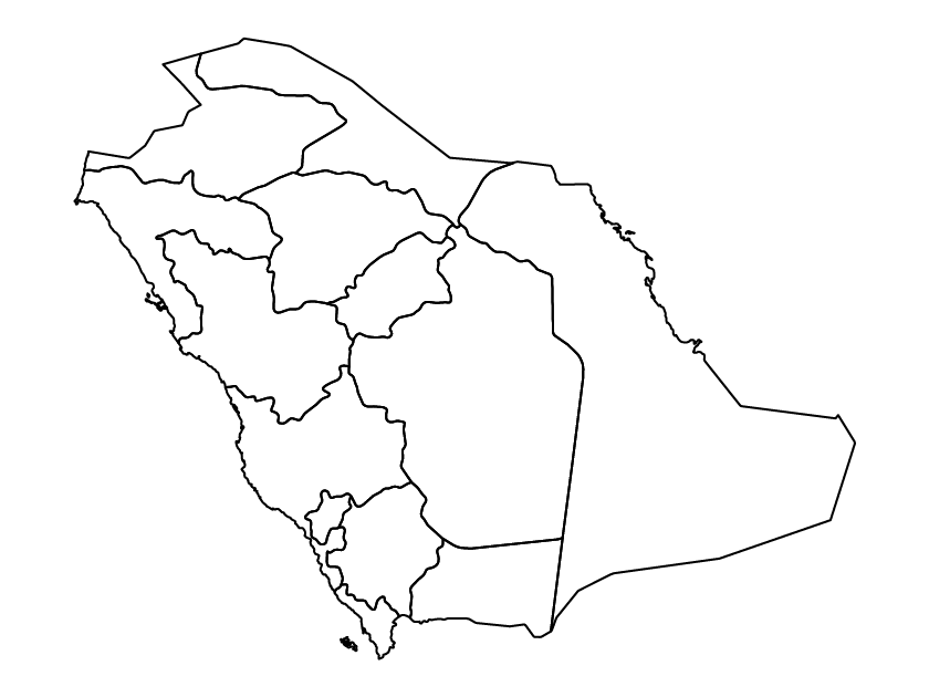
Saudi Arabia political map

Singapore political map

South Korea political map

Sri Lanka political map

Syria political map

Saudi Arabia on the world map

Singapore on the world map
