


What is an outline map of Canada?
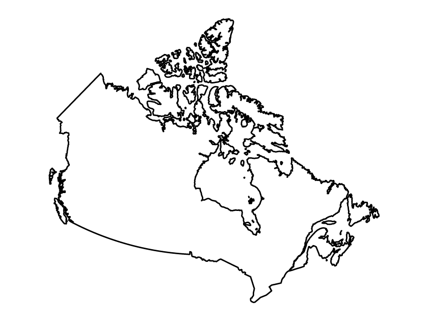
An outline map of Canada is a simple illustration of the country’s overall territory without provinces, names or internal boundaries. It comes in black and white and is available in SVG, PDF, and PNG.
The vector-based SVG file makes it easy to edit the map whereas the PDF map is ideal for printing. If you want to add the map to your blog or website, simply use the PNG image file.
Editing the map
In some instances, you might want to add a fill or change the color of the outline.
To edit the Canada map outline, simply grab the SVG file from the zipped folder after downloading and import it into a vector editing tool. You should be able to select the layer and change its properties from within the software.
Depending on your tool of choice, you should be able to export the map into multiple file formats.