


Home » Black and White
Black and white maps, often known as monochrome maps, are simple maps that use only two colors, that is black and white, to show distinct features on the map.
Black and white maps can be beneficial in some instances, such as when printing in black and white or where clarity and simplicity are vital. They are frequently used in junior geography classes to assist students to comprehend the basics of mapping.
New Zealand political map
Nauru political map
Fiji political map

Australia political map

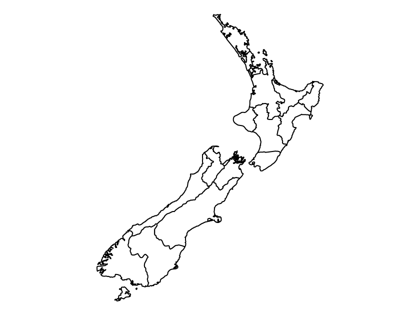
New Zealand outline map

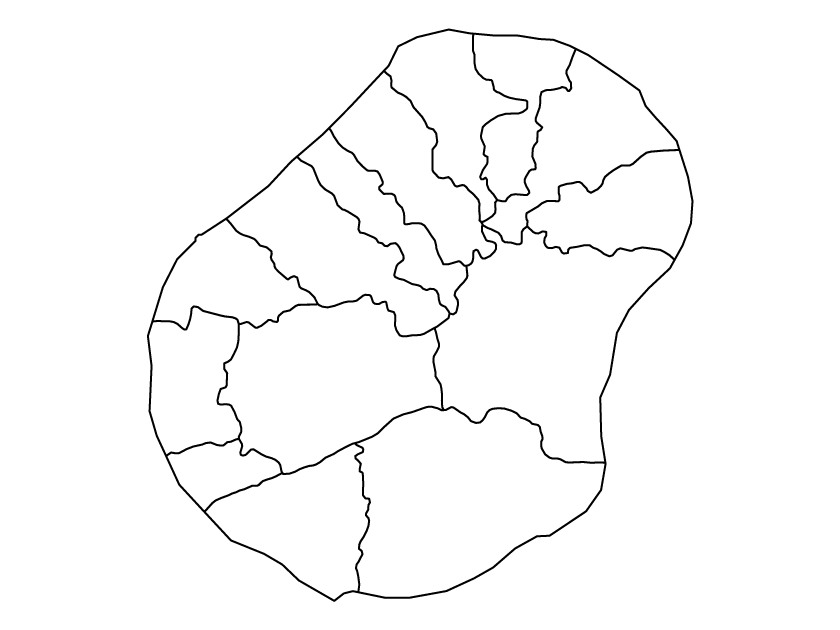
Nauru outline map

Micronesia outline map

Kiribati outline map

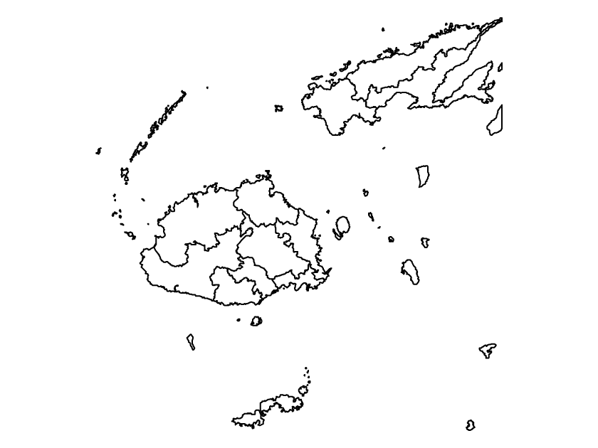
Fiji outline map

Australia outline map
Taiwan political map

Tajikistan political map

Thailand political map

Timor Leste political map

Turkey political map

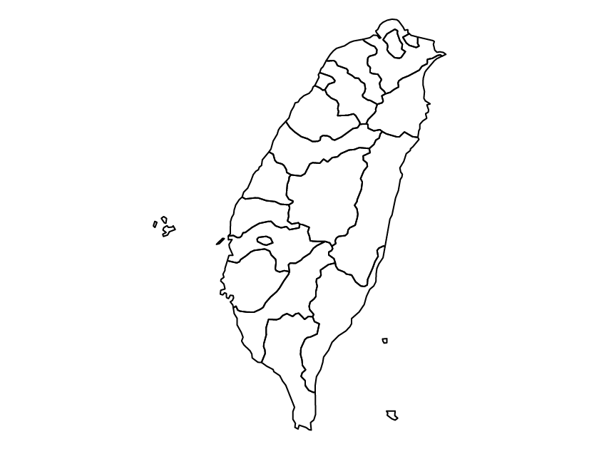
Taiwan outline map

Tajikistan outline map

Thailand outline map

Turkey outline map

Timor Leste outline map
Saudi Arabia political map

Singapore political map

South Korea political map

Sri Lanka political map

Syria political map

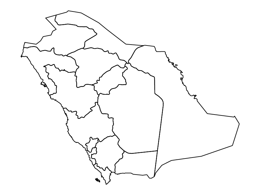
Saudi Arabia outline map
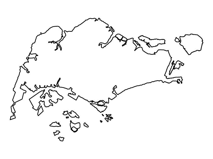
Singapore outline map

South Korea outline map

Sri Lanka outline map

Syria outline map

Pakistan political map

Palestine political map
