


What is an outline map of the world?
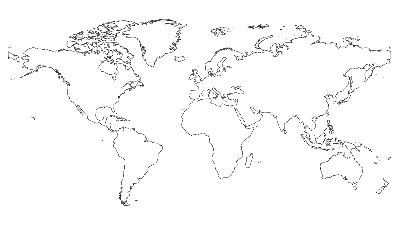
The world outline map shows no countries or water bodies, and it is an overall outline representation of the land of the world that depicts seven continents. The world outline map comes in black and white and is used for educational activities. For instance, students can learn, identify and color different regions on the world map. Blank maps repo provides you with a collection of royalty free printable maps of the countries of the world that are editable too.
Download the world outline map for free
Blank Maps Repo makes it easy to download the world outline map. To download the world map outline, you need to visit the website, which will allow you to download it for free. The cherry on top is that you aren’t required to register or sign up like a typical marketing ploy.
What formats does the World map come in?
The world outline map comes in three standard formats, i.e., SVG, PNG, and PDF, which is the printable format.
How to edit the SVG map
An SVG map is a vector graphic that can be edited using tools like Corel Draw, Adobe Illustrator, and Inkscape. SVG files can contain PNG images. If this is the case, you may have to use a raster-based program for editing this content. In addition to these options, you can edit SVG maps online using several platforms like Figma.
How to print the PDF map
To print a PDF map, follow these steps:
- Open your PDF map in Adobe reader
- Next, go to the menu bar, select File, and choose Print.
- A dialog box will appear; select your printer using the drop-down menu in the Printer section.
- Choose your desired print range and the number of copies. [Note: You may refine your print selection further. By using the radio buttons, select the print mode and page scaling you want to use.]
- You can now click OK to print your page after making your selections.
Map projection
The projection used on our map is Miller. This projection is intended to be used for global maps and is a cylindrical projection. It displays the world map in a rectangular shape, with minimal distortion of area or shape.
Continents of the world
North America
The North American continent occupies both the Northern and Western Hemispheres of the planet. This continent is located in the northern part of the Americas, east of the Pacific Ocean, west of the Atlantic Ocean, and south of the Arctic Ocean. The population of North America is around 371 million, making it the 4th most populous continent in the world. It has countries like Finland and Canada, which is the second largest country in the world after Russia.
Africa
The continent of Africa is the second largest in the world. Approximately one-fifth of the planet’s surface is covered by it. There is a theory that the first humans evolved on this continent. Several large bodies of water surround it. Four oceans surround the continent: the Red Sea, the Mediterranean Sea, the Indian Ocean, and the Atlantic Ocean.
South America
The South American continent is the fourth largest geographically and the fifth largest in terms of population. The southern hemisphere is its primary location. In the east, it shares a border with the Atlantic Ocean, and in the west, it shares a border with the Pacific Ocean.
Europe
This continent has the third-largest population and the sixth-largest by area. It has Italy, which is the largest and the world’s 72nd largest country. The Mediterranean Sea surrounds this continent to the south, Asia in the east, and the Atlantic Ocean in the west. It is undeniable that Europe is a wealthy continent representing the heart of Western democracy.
Asia
The largest and most populous continent is Asia, where the largest nation (Russia) and the most populous nation (China) are located. The land area of Asia makes up approximately 30 percent of our planet, making it the largest continent on earth. Roughly sixty percent of the world’s population lives on this continent as it has countries like Japan and India.
Antarctica
In the Southern Hemisphere, Antarctica occupies approximately 20 percent of the area. The Antarctic continent is the fifth-largest continent by geography. (Antarctica is larger than both Oceania and Europe.) Being the coldest continent in the world, Antarctica has no native population. Antarctica mostly comprises solid ice, otherwise known as glaciers.
Australia and Oceania
Oceania is a geographic region, and Australia is a continent within Oceania. The Central and South Pacific Oceans are home to thousands of islands within Oceania. It includes Australia, and as far as total land area is concerned, Australia is the tiniest continent.
Is the Middle East a continent?
The Middle East is a region that is neither a continent nor a subcontinent but a transcontinental geopolitical region (which crosses several continents). As a region, the Middle East is comprised of Egypt, Turkey, and Western Asia. It comprises three continents, with Asia being its primary continent. There are seventeen countries in the Middle East, and it occupies an area of 2,782,869 square miles.