


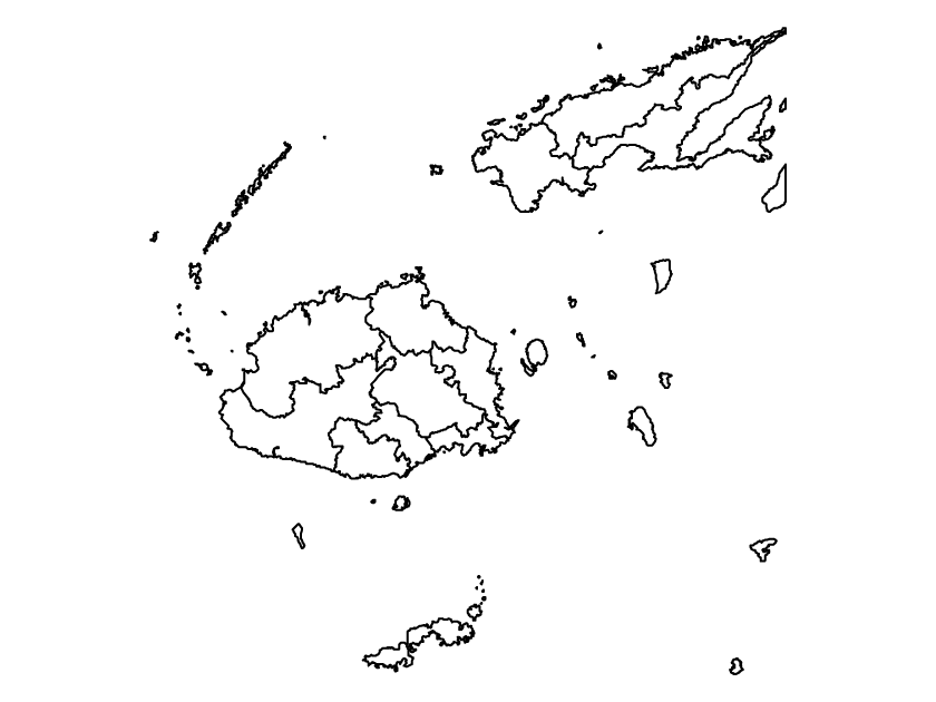
This is a blank political map of Fiji showing administrative boundaries, specifically provinces. The map is without names and does not include physical features to make it as simple as possible. The political map of Fiji can be downloaded as PDF, SVG, and PNG for free. You can also view Fiji outline map.
Although there are other minor islands that make up the country of Fiji, this map only highlights the two major islands – Viti Levu and Vanua Levu Islands.
Fiji administrative divisions
Officially known as the Republic of Fiji, the country is divided into four divisions which are further divided into provinces. Fiji is made up of 14 provinces, each headed by a provincial council.
The provinces are Ba, Bua, Cakaudrove, Kadavu, Lau, Lomaiviti, Macuata, Nadroga-Navosa, Naitasiri, Namosi, Ra, Rewa, Serua and Tailevu. Suva, the capital city of Fiji, is located in Rewa province, central division. These provinces are further divided into districts.