


Blank political map of New Zealand
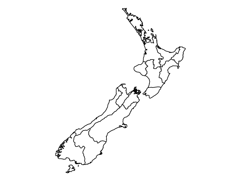
This map shows a blank political map of New Zealand, without names or any other labels. It is a vector map showing the administrative regions of the country. The map is available for download for free as an SVG, PDF, and PNG.
New Zealand administrative regions
New Zealand is divided into 16 administrative regions known as territorial authorities. These are:
- Northland
- Auckland
- Waikato
- Bay of Plenty
- Gisborne
- Hawke’s Bay
- Taranaki
- Manawatu-Whanganui
- Wellington
- Tasman
- Nelson
- Marlborough
- West Coast
- Canterbury
- Otago
- Southland